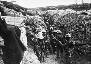
The 1st Lancashire Fusiliers in Communication Trench near The Somme 1916 Source
This year marks one hundred years since the end of the conflict that is most commonly known as World War 1. The area known as The Western Front was the main theatre of war during the years 1914-1918 and stretched from the western tip of Belgium, down through France and into Germany. It was the line of defence that kept the German army from reaching the rest of France and the English Channel. It is also the area most famous for use of “trench warfare” as a tactic by both sides.
Trench warfare came about due to advances in firepower which were not matched by advances in mobility. The entrenched defenders of an attack generally had the advantage and could inflict severe casualties on the attackers who could not properly defend as they advanced. The result of trench warfare is generally a stalemate situation where nobody advances at all.
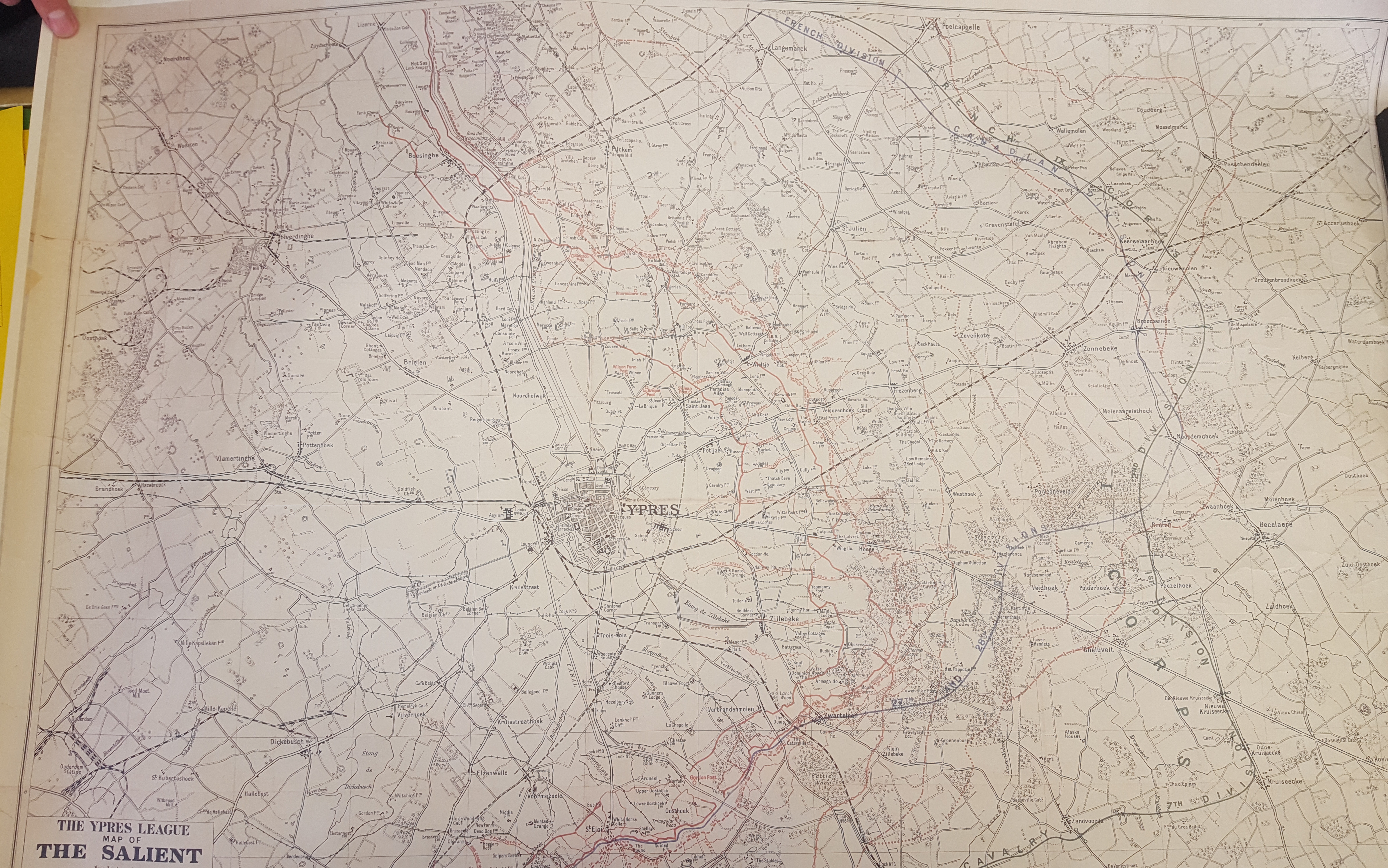
The thing that amazes me is the complexity and scale of the network of trenches on the Western Front. I saw this in great detail when a stallholder showed me a map of the trenches around Ypres in Belgium. This was the location of one of the most infamous and costly battles of the war, the Battle of Passchendaele. The stallholder, Gordon, told me that rather than sell it he wanted to donate it to a local military base. The Corps of Royal Electrical and Mechanical Engineers (REME) are based just a few miles away at MoD Lyneham and Gordon managed to contact somebody there and offered the map as a gift to the corps.
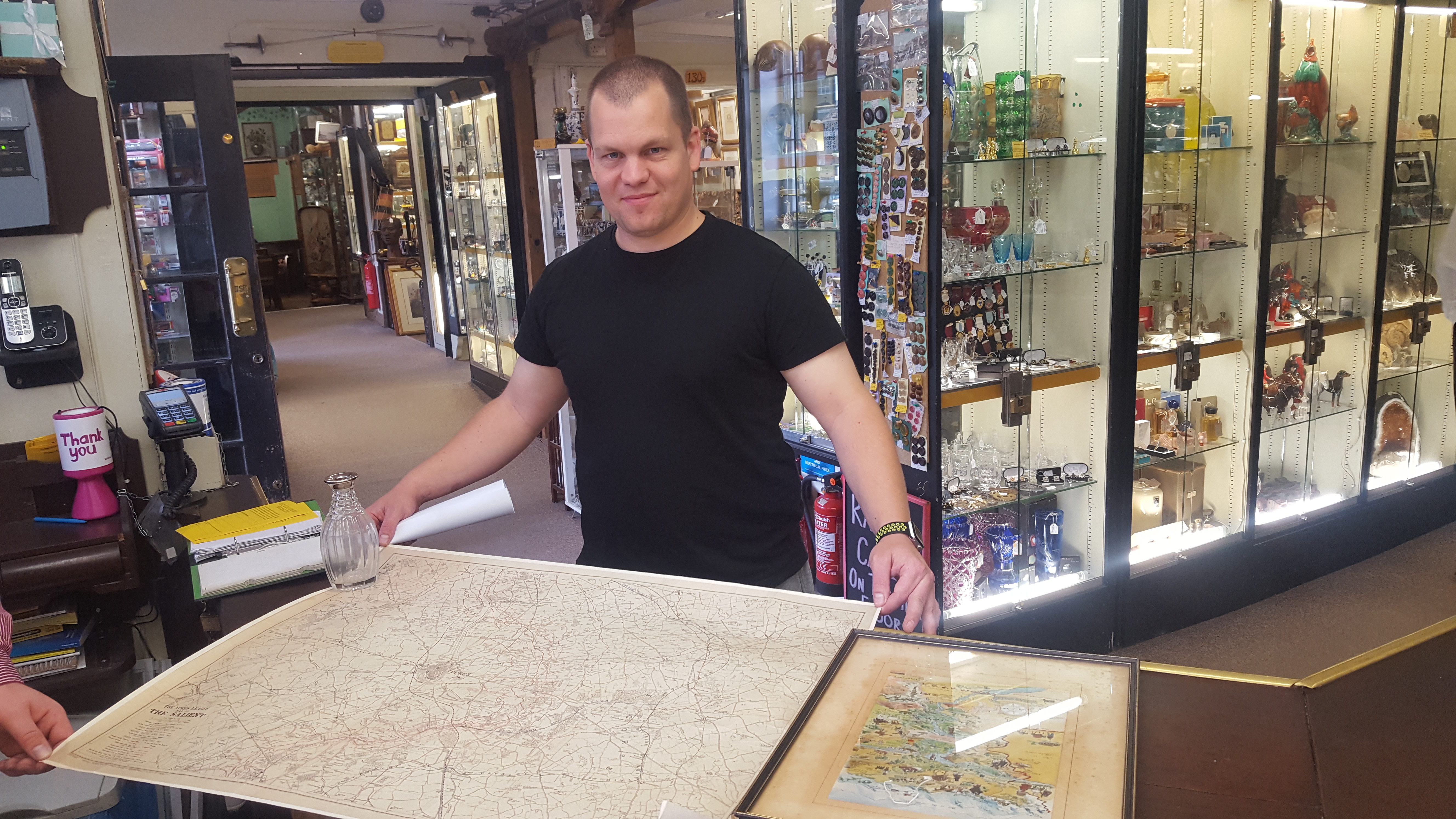
We were visited by Lance Corporal Marshall-Saunders of the 6th Battalion REME who informed me that the map would be framed and placed on the wall in the Corporal’s mess for everybody to see. We are really glad it’s gone to such a good home.
Hopefully my picture has enough detail for you to zoom in and follow the trenches through the area and get an idea of the scale of the operation. It is really quite amazing.
